Snow: It’s Not Over Yet
March 28, 2017
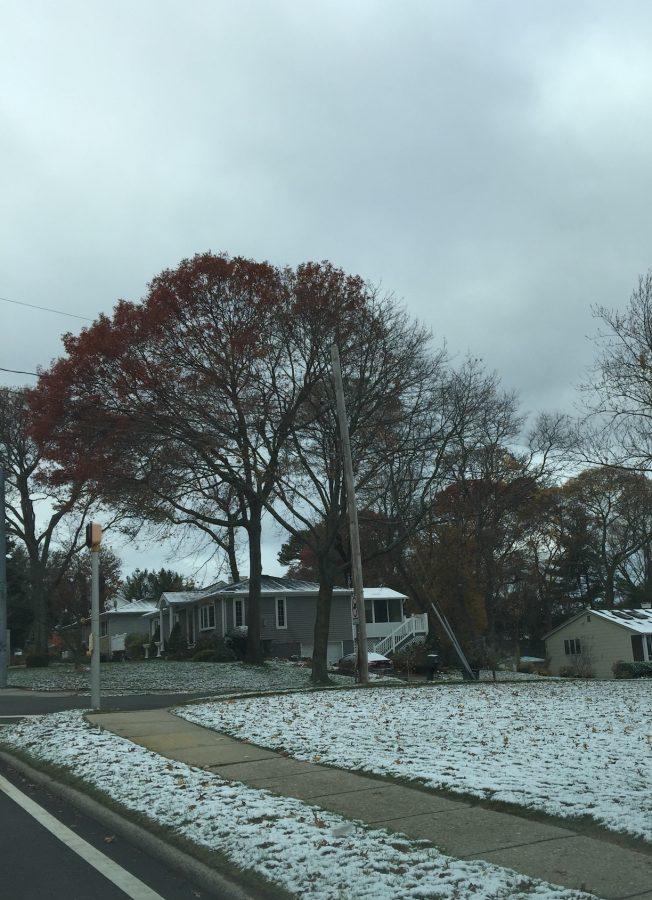
Thanks to a blizzard that swept the Northeast, we had a snow day on March 14. Those who went outside to sled or shovel the snow off of their driveways may have noticed something odd about the snow: it was extremely heavy.
In the afternoon, temperatures rose and the snow turned into rain, resulting in a dangerous mix of both frozen and liquid water covering the ground. One might think that the rain would make it easier for people to clear their driveways. The reality was just the opposite.
Ice has a density of 0.92g/cm^3, which is lower than that of water, at 1g/cm^3. As water freezes, its molecules form a hexagonal crystal, effectively increasing the volume and lowering the density. As the rain fell, it seeped into the snow and stayed there, increasing the density of the snow on the ground. This made it much harder for people to use their shovels. The effect on snow blowers and snow plows was negligible.
For any young snow connoisseur void of the responsibility to clean a roadway, this storm was a dream come true. Wet, dense snow is perfect for packing together a snowman or a cruel snowball for someone’s face. Although East Setauket only received about 4.5 inches of snow from this past storm, schools were cancelled due to the snow’s high water content and, consequently, more dangerous driving conditions as the snow melted and refroze.
So, what kind of snow can we expect to get in the coming weeks? Snow consistency depends solely on temperature. This past Tuesday, average temperatures ranged from 30 to 35 degrees Fahrenheit, hence the heavy wet snow. When temperatures fall to the lower twenties, we can expect the lighter, more powdery snow. Seeing as we are moving into spring, we can expect heavier, wet snow.
Whichever type of snow you prefer, the outcome is in nature’s hands. In this case of another wet snowfall, drink a large cup of hot chocolate and stretch thoroughly before you head out to shovel.


