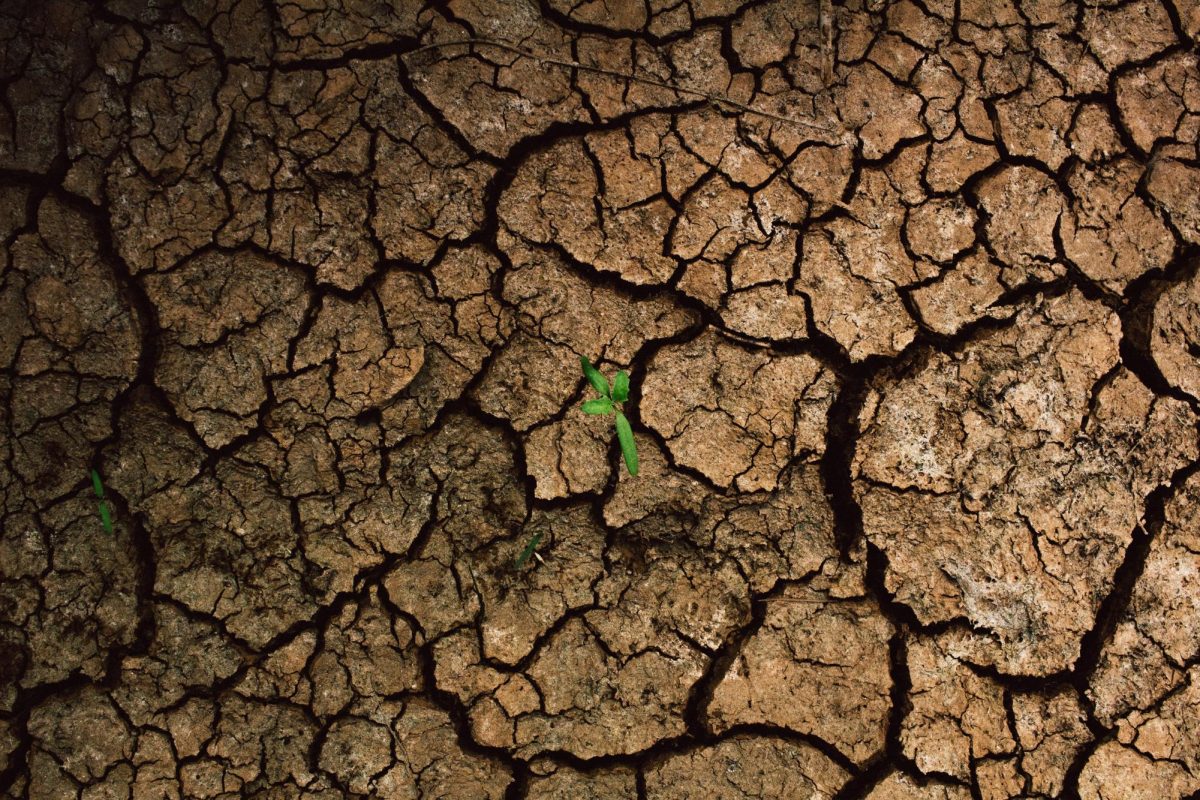
Rain is often seen as a nuisance. It ruins outdoor events, soaks people’s clothes and is the culprit for many a bad hair day. However, without it, plants—and, by extension, animals and people—would not survive. Throughout September and October, there has been a significant and concerning lack of rain on Long Island.
Droughts are measured on a scale from D0-D4, with D0 meaning the area is abnormally dry, and D4 denoting exceptional drought. Long Island is currently experiencing D0. Although it is far from the most extreme of droughts, this does indicate the dryness has been more than what would be considered typical. This past September has been the second driest recorded in over a century, despite 2024 so far having roughly 5.5 inches more precipitation than usual. Moreover, Long Island has had between 25% and 50% of normal precipitation levels compared to those between 1991 and 2020 in the past two months. The reason why this only qualifies for D0 drought levels is thanks to August’s abundant rainfall. This left the island with especially moist soil at the start of September, so there was no official drought. Nonetheless, that may change if the absence of rain persists.
La Niña conditions are forecasted for this winter, albeit weak ones. El Niño and La Niña are global climate patterns that include changing wind and ocean temperatures in the Pacific. This can result in extreme weather around the world. El Niño is the warmer phase, while La Niña typically indicates cooler temperatures. According to the National Oceanic and Atmospheric Administration’s Climate Prediction Center, there is a 60% chance that a weak La Niña event will begin this Fall and may continue into March. The effects of La Niña differ around the world. For example, La Niña’s general trends suggest that parts of South America could receive above-average precipitation, whereas in the Southern United States and Mexico, it may be below average. According to Samantha Borisoff, a climate scientist at NOAA’s Northeast Regional Climate Center based at Cornell University, New York usually experiences more snow during La Niña winters, but this is not always the case.
El Niño occurs when winds blowing across the Pacific toward Asia lose power. This lets warm waters gather along South America’s west coast. However, the winds strengthen during La Niña, allowing frigid water from the ocean’s depths to rise and cool the eastern water temperatures. The changes in temperature and atmospheric pressure alter the jet stream, a thin band of air flowing rapidly around the globe from west to east. La Niña pushes it northward. Since the jet stream lies above the ocean, it can take on its moisture, guide the paths of storms, and increase precipitation. From 2020 to 2023, Earth underwent a “triple-dip” La Niña event, with three consecutive La Niña winters. Although this may be uncommon, it is not the first time such a pattern has been recorded. La Niña events are often longer and more frequent than El Niño events.
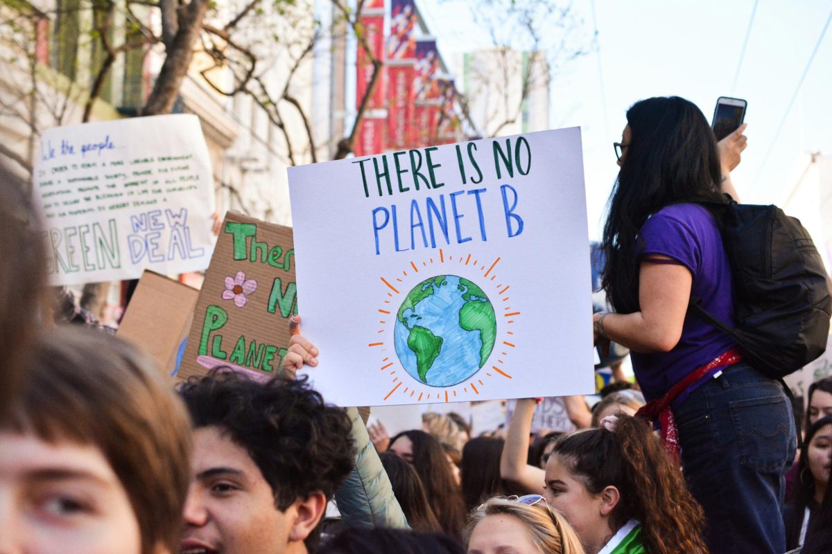
Even with a forecasted La Niña winter, global temperatures will continue to rise. Despite being late November, temperatures have been unusually high, even breaking records with an 81°F measurement in Islip. The last nine years have been the warmest on record. With the three-year-long La Niña event from 2020 to 2023, this is even more considerable. Nonetheless, the connection between El Niño and La Niña and climate change has not been broken down in detail yet.


